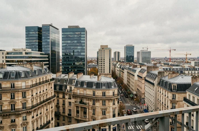
Urban forms are not limited to an opposition between dense cities and suburban housing. The Climate and Resilience Law of August 22, 2021, set a target to halve the consumption of natural, agricultural, and forested spaces between 2021 and 2031, with a goal of net zero artificialization by 2050. This regulatory framework reshapes the types of possible urbanization and forces a reconsideration of the morphology of French territories.
Land Constraint ZAN and Recomposition of Urban Forms
Before classifying typologies, it is necessary to measure what constrains them. SCoTs must integrate ZAN objectives by 2026, and PLUs and PLUi by 2027. Each local planning document is therefore under revision, with direct decisions on the allowed urban form: densification, on-site renewal, recycling of brownfields.
The law of July 20, 2023, introduced a nuance with the rural guarantee of one hectare per municipality for the period 2021-2031. This minimal right to artificialization aims to avoid freezing development in less urbanized areas while maintaining the overall trajectory of land sobriety.
This constraint has a direct effect on morphological choices. Municipalities that still had land reserves on the outskirts must now prioritize the reconstruction of the city upon itself. Exploring the different urban forms on Encherimmo allows for an understanding of how these typologies are articulated in a rapidly changing regulatory context.
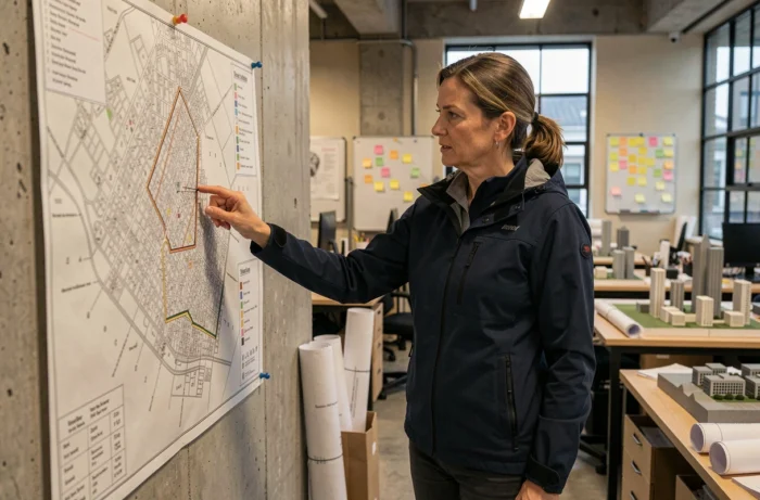
Comparison of Urbanization Types: Density, Footprint, and Implantation Logic
Urban forms are distinguished by their relationship to land, built density, and their historical or planned implantation logic. The table below synthesizes the major typologies observed in French territory.
| Type of Urbanization | Density | Land Footprint | Implantation Logic |
|---|---|---|---|
| Street-village | Medium | Linear, along an axis | Historical, linked to a passageway |
| Compact village (town) | High | Concentrated around a core | Medieval, defensive or religious |
| Grid plan | Variable | Regular, orthogonal parcels | Planned (bastides, new towns) |
| Radioconcentric plan | High in the center, decreasing | Radiating from a central point | Organic growth around a pole |
| Suburban sprawl | Low | Very extensive, discontinuous | Post-1950, automobile, housing estates |
| Polycentric (metropolis) | Variable depending on the poles | Extensive but structured | Aggregation of multiple centralities |
Each form produces measurable effects on land consumption, travel, and network costs. The street-village consumes more linear road per inhabitant than a compact town, which weighs on municipal maintenance budgets.
Compact Form vs. Sprawl: What the Land Reveals
The opposition between compact cities and sprawling urbanization has structured the debate since the 1990s. However, the reality of French territories rarely shows a pure form.
A compact historic town may be surrounded by scattered hamlets, creating a hybrid morphology that urban planning documents struggle to characterize. This is often the case in rural areas of southern France, where a dense village core coexists with suburban extensions from the 1970s to 1990s.
Densification does not necessarily mean building upwards. Several levers exist:
- Parcel division in existing suburban areas, which allows for the insertion of new housing without extending the urban footprint
- Recycling of industrial, commercial, or military brownfields, which represents an underutilized land resource in many urban areas
- Raising existing buildings, technically framed and encouraged by some recent PLUs
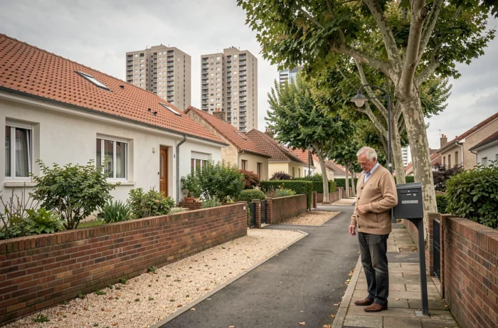
Conversely, suburban sprawl has long responded to a demand for accessible individual housing. Its challenge by the ZAN trajectory does not eliminate this demand; it redirects it towards intermediate forms: grouped individual housing, small collectives, terraced townhouses.
Radial Plan, Grid Plan, Polycentric Morphology: Heritages that Condition Urban Evolution
The form of a city is not a contemporary choice. It results from successive layers that superimpose and sometimes contradict each other.
Cities with a radioconcentric plan, organized around a historic center with radiating roads, concentrate employment and services at the core. This model generates a strong land pressure on the center and a shift in demand towards peri-urban rings. The phenomenon of metropolization accentuates this dynamic in major urban areas in France.
The grid plan, inherited from medieval bastides or colonial creations, offers a regular framework that facilitates progressive densification. Orthogonal parcels are better suited for division and transformation than irregular organic frameworks.
The polycentric model, observable in urban areas like Lyon or Lille, distributes urban functions among several poles. This distribution reduces dependence on a single center and can limit the length of home-work commutes, provided that transport between poles is efficient.
Evolution of Urban Forms and Land Sobriety Objectives
Inherited urban forms do not disappear under the effect of regulation. They transform, sometimes slowly.
The ZAN trajectory pushes local authorities to inventory their available land before considering any extension. Brownfields, infill lots (unbuilt parcels within the existing urban fabric), and vacant buildings become priority resources. This logic favors urban renewal forms rather than extension.
Tensions between desired densification and local acceptability remain strong. Intermediate housing, between collective and isolated individual homes, appears as a suitable morphological compromise for towns and small cities. It allows for maintaining a density compatible with land objectives without reproducing the forms of large housing estates rejected by some residents.
Reading urban forms benefits from crossing physical morphology and regulatory framework. The same built fabric can be classified differently depending on the applicable PLU, with very variable building rights from one municipality to another, even within the same intercommunal structure.